
The plan for the day was to dawdle my way to Louse Harbor, where I'd be well set-up for a return try at moving north to Canso on Thursday, and back on Friday. I was beginning to see that one difficulty with loop trips was that it required not only one but two days of suitable conditions in order to pass the danger points on both legs of the trip. I could certainly have made it around that troubling point on one fine day, but expecting a second fine day for the way back was an iffy proposition.
I wandered out toward Millstone Island, which looked stalwart and bold sitting well out into the ocean. As I approached, though, I could see nowhere to land. Waves wrapped around from both sides and collided in a zipper line in the middle. I decided to admire from a distance, and faced back into the 20 kt wind toward shore. By the time I got there, I needed a rest. Finding a low rock I could land on, I got out to have a look around.
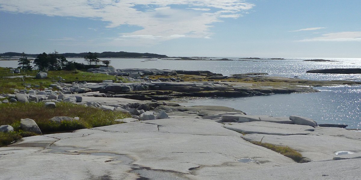
Here is where I landed. This stretch of coastline is referred to in the guidebook :
| The beauty of isolation has its price, and there are few places around the province where you will be farther from a road than [here], halfway between Whitehead and Dover. It's a long, arduous trek on rough terrain, if anything should happen to you or your craft. ...we were stormbound for three days and couldn't reach anyone, even with our radio. The islands will help shelter you from the open sea, but the water is very shallow. Shoals are numerous and waves can break unexpectedly over seemingly deep water. |

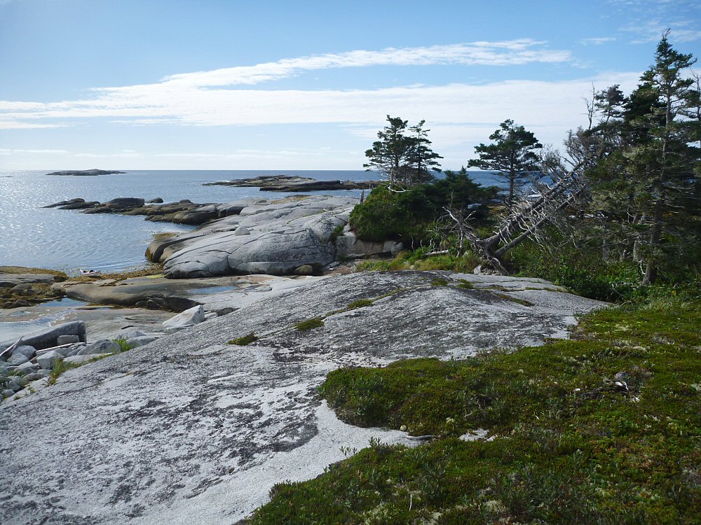
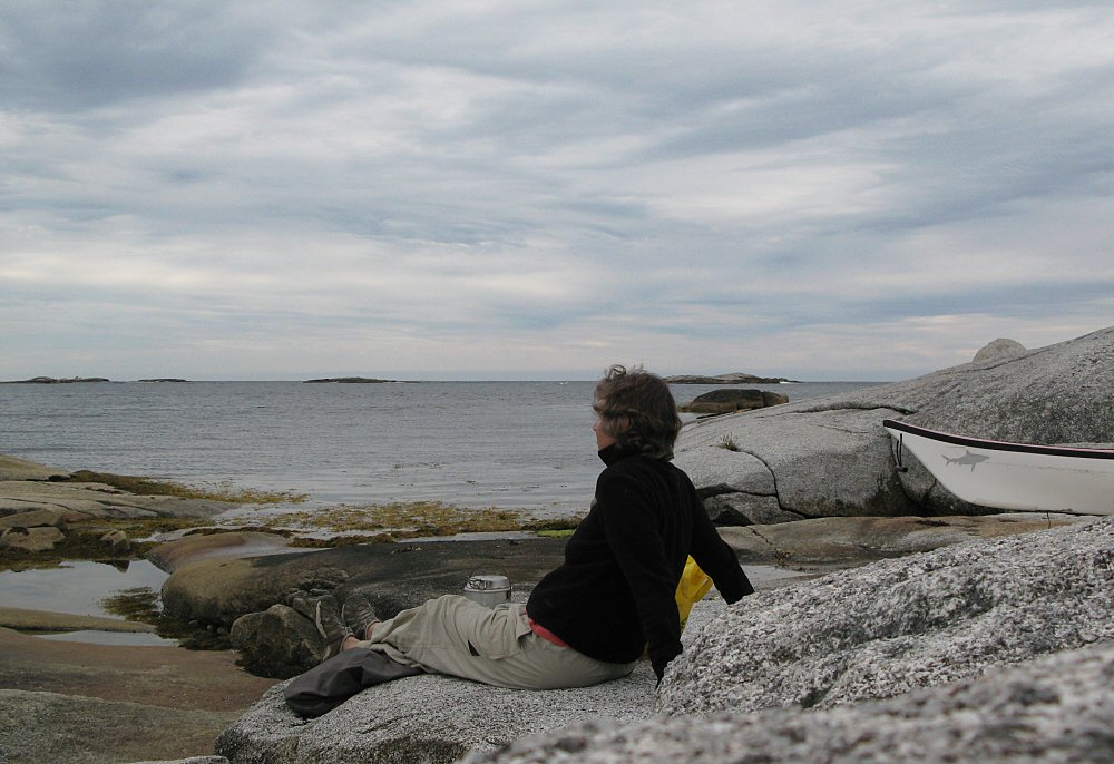
It was indeed isolated.
And beautiful.
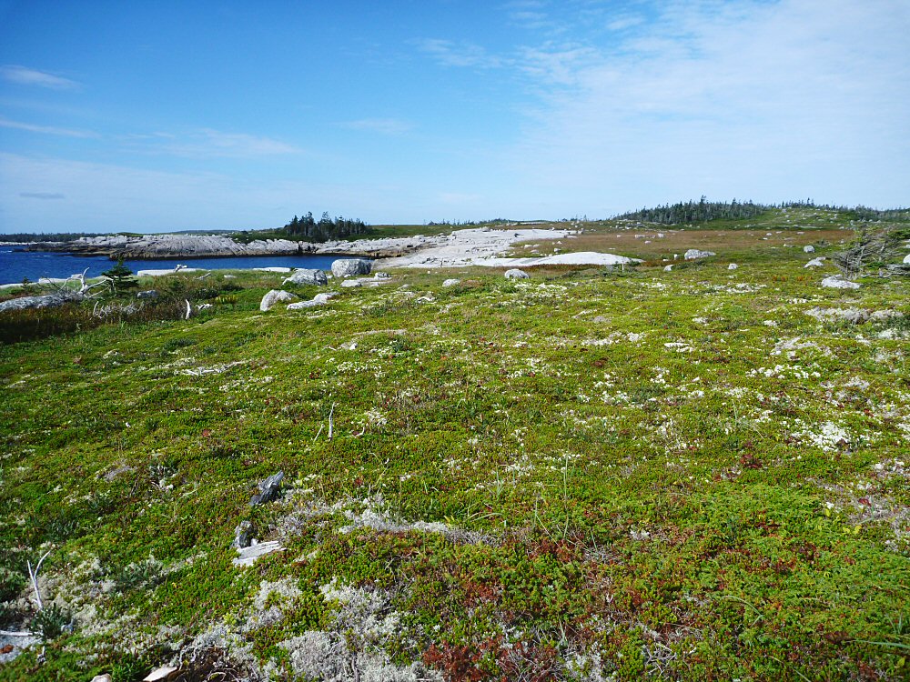
It took my breath away. I could not stop turning and looking. To landward, vast barrens to the horizon. Up and down the coast, great white granite slabs jutting into the ocean. To seaward, islands and ledges and shoals.
I knew this was where I wanted to end up that evening. There were innumerable camping possibilities on the granite, there was protection from the wind, the views were incomparable, and - oh joy! - there were puddles of rainwater in basins of granite where I could wash my hair! That settled it. I could still reach the Canso route from here the next day.
I decided to toodle around the local islands and coves for the day, then come back and loll about at this lovely place and simply bask in the beauty and peacefulness.
The chart at the top of this page shows my route. I'd rather hoped to nose my way into Sandy Cove - just possibly an even better camping location - at the tip of Dover Island (shown on this chart as the cove between Howe Pt and Snorting Rocks), but after reaching the entrance found it inaccessible. Surf was rolling in from every side - big surf. The swell would have to be coming from the other side of the island in order to get into this cove - and one better hope it stayed that way, in order to get out again. Snorting Rocks were the recipients of swell which suddenly steepened to about 10 feet, rolled furiously toward the rocks, and exploded percussively into the air 30 feet or more. The wind was picking up again. I ducked into Port Howe.
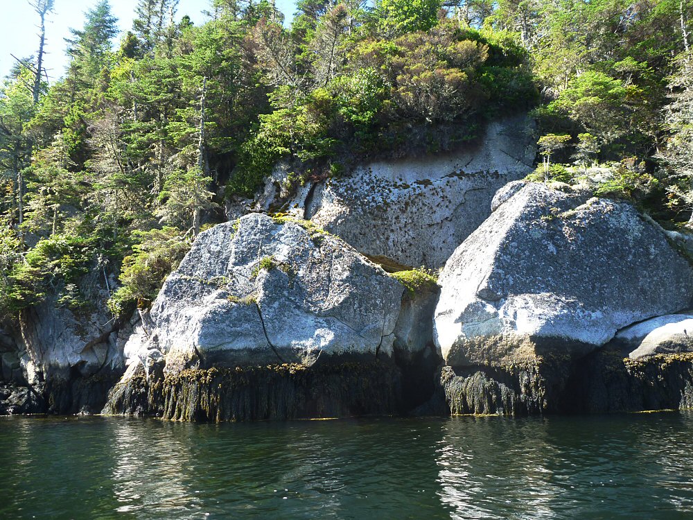
Do not bother to look for camping in Port Howe. There is simply nowhere to land. The inlets are deep and protected, but offer no flat space. I wandered all through this harbor and then came back to the mouth, recognizing that the tide was beginning to flood in and I'd better make my escape. Ah, strange waters - the mouth of the port was becoming chaotic. There are several ledges here which create rebound waves, swell and wind were pushing in with the tide, big big surf was happening to the left against Dover Island, and there was a mile of open water to the right before gaining quiet harbor behind Whale Island. This was not happy paddling, but all went well and I stopped to rest at Whale Island before making the final push back to my chosen camping spot on the coast.
First order of business: wash my hair! What a luxury! Next, brew up a cup of tea and gaze out to sea.
All was right with the world.
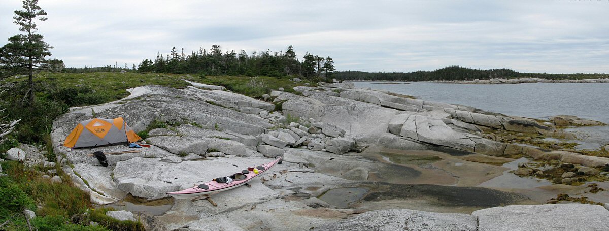
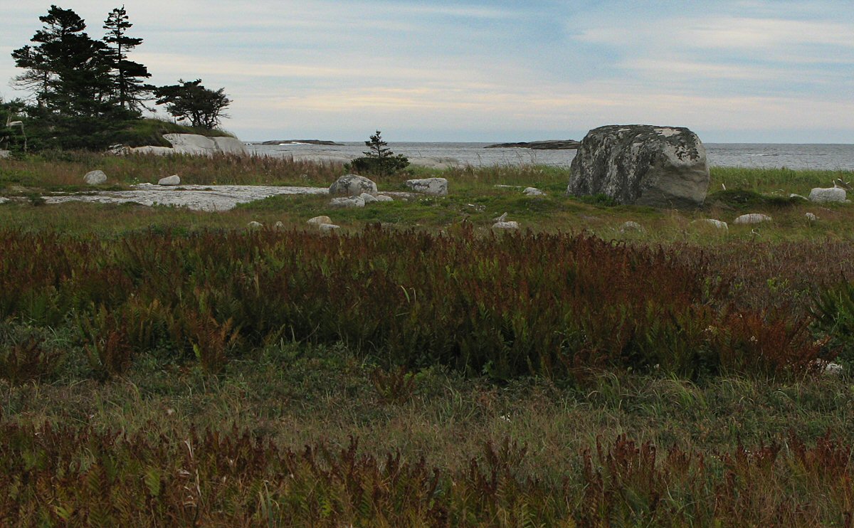
Here is my camp, set up above high tide line (I was pretty sure) and hidden from the wind by trees on the left. Weather was beginning to deteriorate, contrary to marine forecast. Somehow the sombre tone was fitting for the barrens.
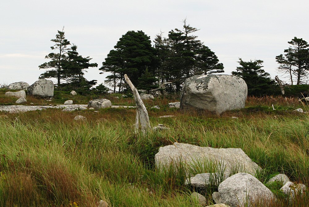
It was like camping in a sculpture garden.
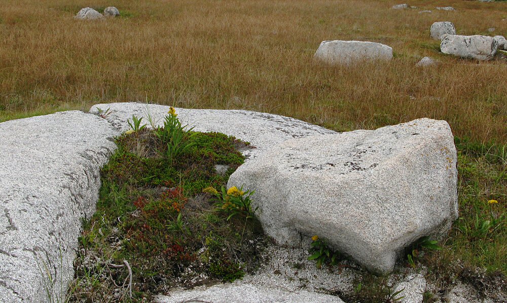
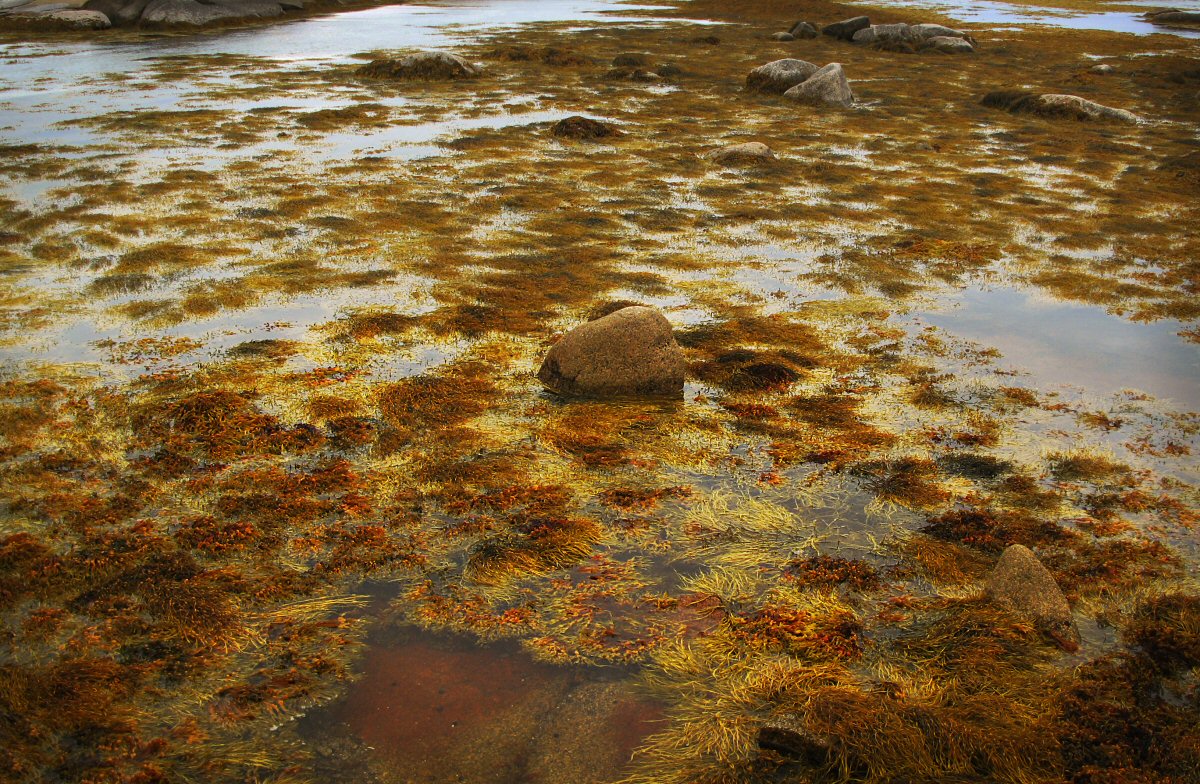
Little flower gardens were cradled amidst the rocks.
The views were broad. Seals lounged on the rock ledges. Whale Island (left horizon) blocked much of the swell. It was peaceful and yet dynamic.
next page